Northeast
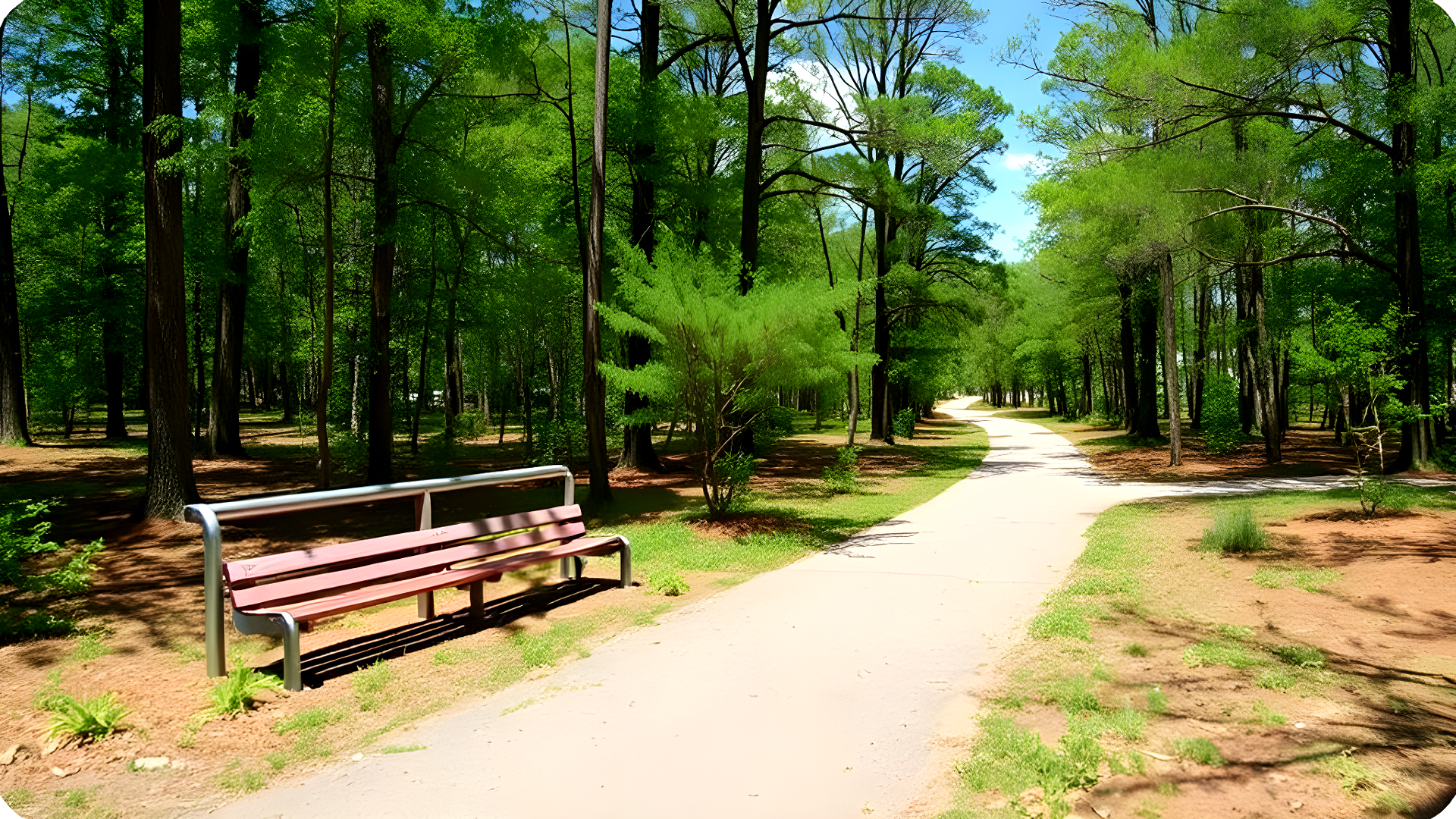
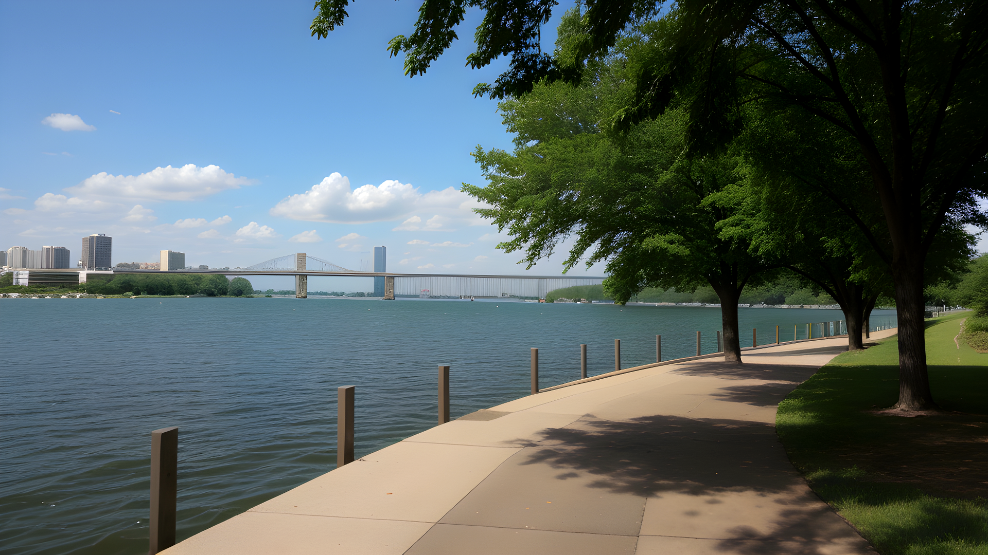
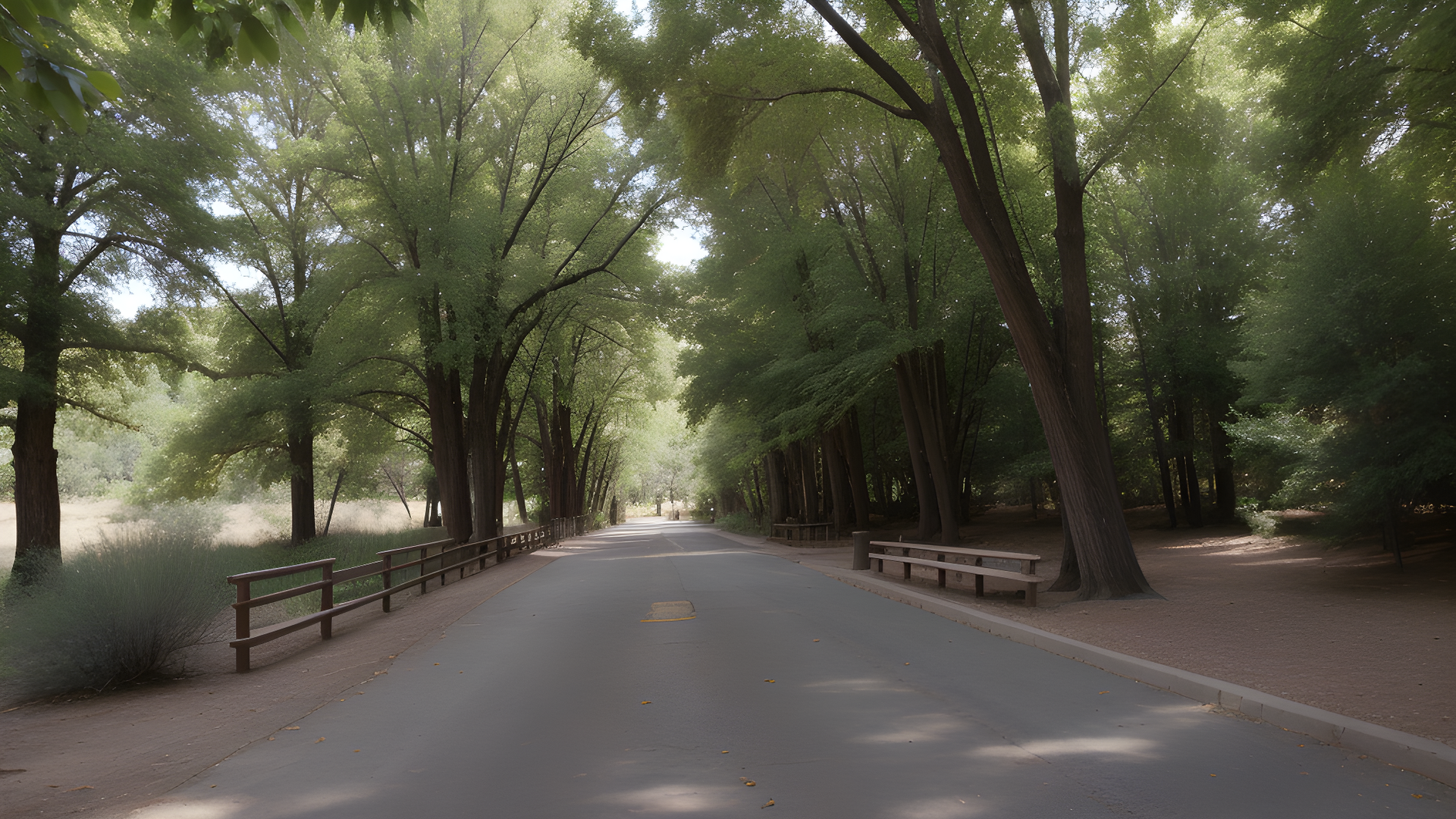
East Coast Greenway
Location: From Maine to Florida (spanning multiple cities and states along the eastern seaboard)
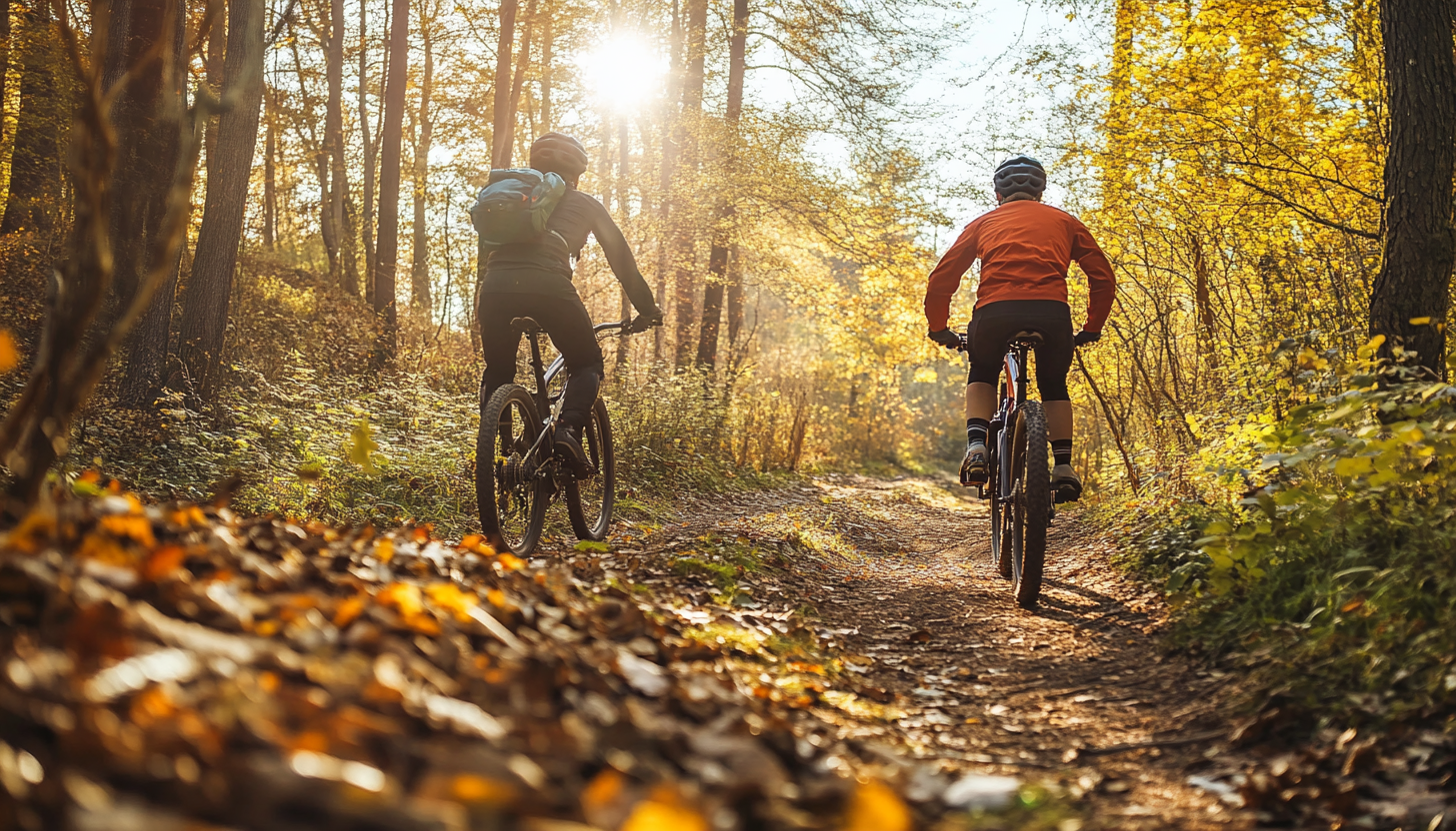
The East Coast Greenway is a network of trails over 3,000 miles long. It connects cities from Maine to Florida. It's for walkers, cyclists, and others who prefer not to use cars. It promotes outdoor fun, green travel, and healthy living.
The trail goes through many landscapes, like cities, farms, forests, and coasts. It links big cities like Boston, New York, and Miami. It's great for long trips or daily commutes.
The East Coast Greenway Alliance works with local groups to keep the trail good. They make sure it's easy to use and linked to public transport. This helps everyone enjoy the trail.
Along the Greenway, you can see historic sites, parks, and beautiful views. It teaches us to care for nature and travel green. This helps keep our environment healthy.
The Greenway is a symbol of teamwork for a better future. It's perfect for fun, work, or just exploring. It offers a special experience for everyone who visits.
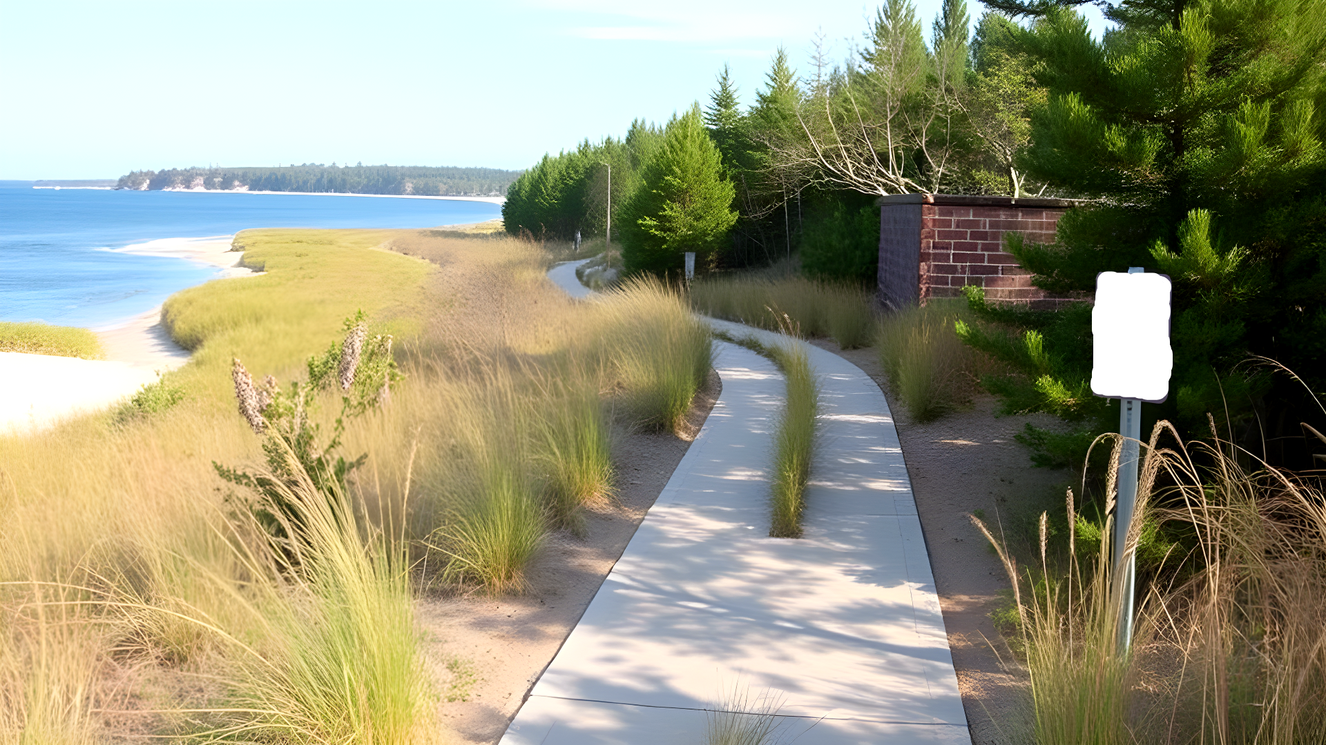
Cape Cod Rail Trail
Location: Massachusetts (Cape Cod)
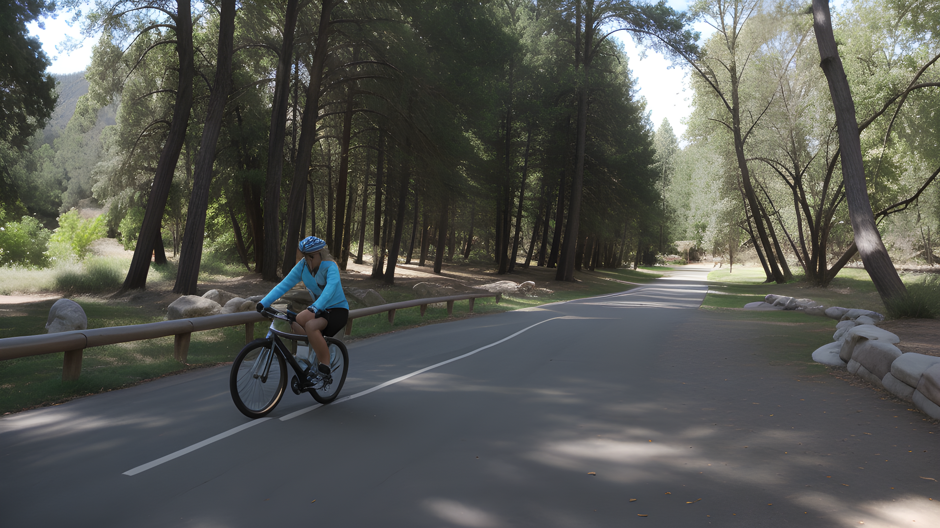
The Cape Cod Rail Trail is a 25-mile path through Cape Cod, Massachusetts. It was once a railway and now it's a place for fun and nature. Cyclists, walkers, and joggers love it here.
This trail goes through towns, forests, and wetlands. It offers views of the coast and local spots. You can visit places like Brewster and Wellfleet, with their shops and history.
The trail is a community spot. It hosts races, walks, and tours. It's safe for families, with paths for everyone.
On the trail, you might see birds, deer, or even seals. It connects to parks and nature areas. This lets you explore and enjoy the outdoors.
The trail also supports eco-tourism. Visitors are asked to respect nature and follow Leave No Trace. This helps keep the area beautiful for others.
The Cape Cod Rail Trail is a key spot for outdoor fun. It shows how important trails are for health, community, and nature. It's a great place for a ride, a walk, or enjoy nature.
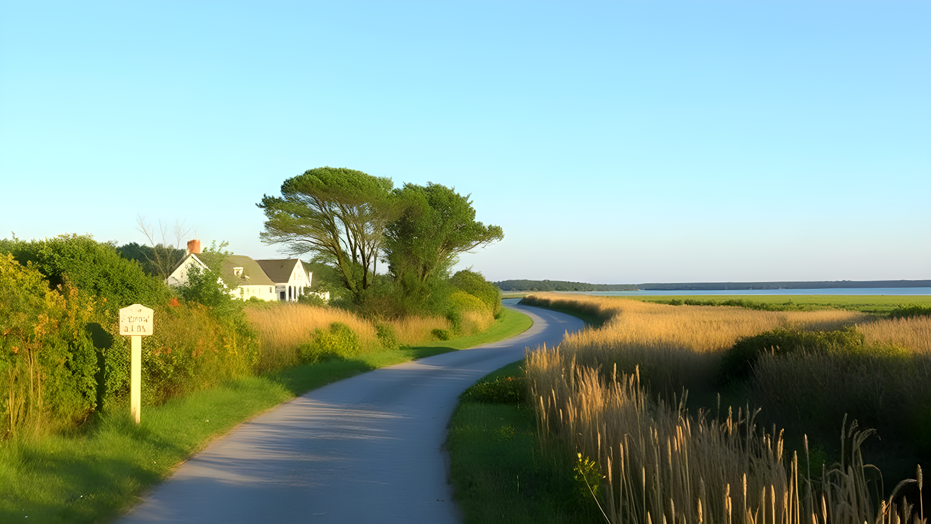
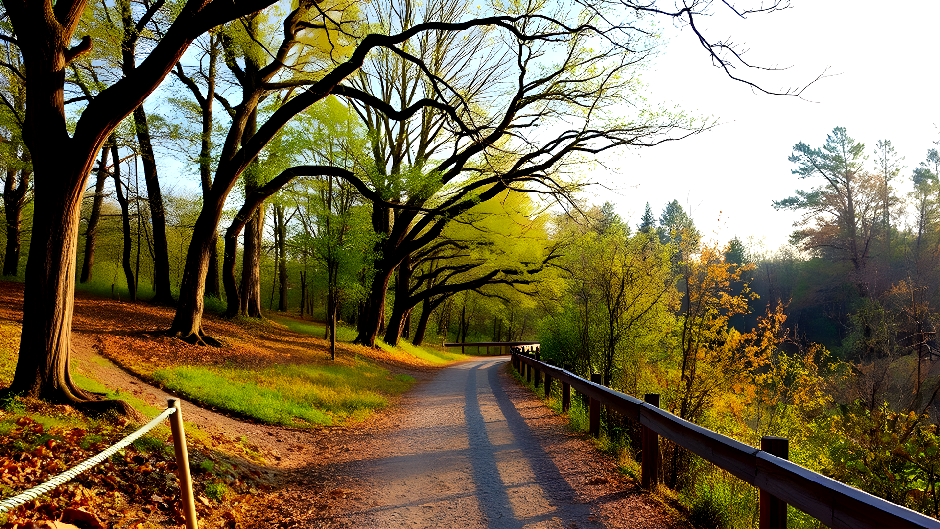
Hudson Valley Greenway Trail
Location: New York (Hudson Valley area)
The Hudson Valley Greenway Trail offers a mix of history, culture, and nature. It's a path for outdoor lovers to see the Hudson Valley's beauty. You'll pass through forests, rivers, towns, and historic sites.
Along the way, you'll see the Hudson River, a favorite of artists and writers. The trail is good for biking, walking, and running. It's perfect for families and those who love nature.
The trail connects communities, boosting local businesses and culture. It hosts events like nature walks and clean-up days. These activities bring people together and promote care for the environment.
Remember to follow Leave No Trace principles on the trail. This way, everyone can enjoy its beauty. The Hudson Valley Greenway Trail is a must-see for adventure and peace in New York.
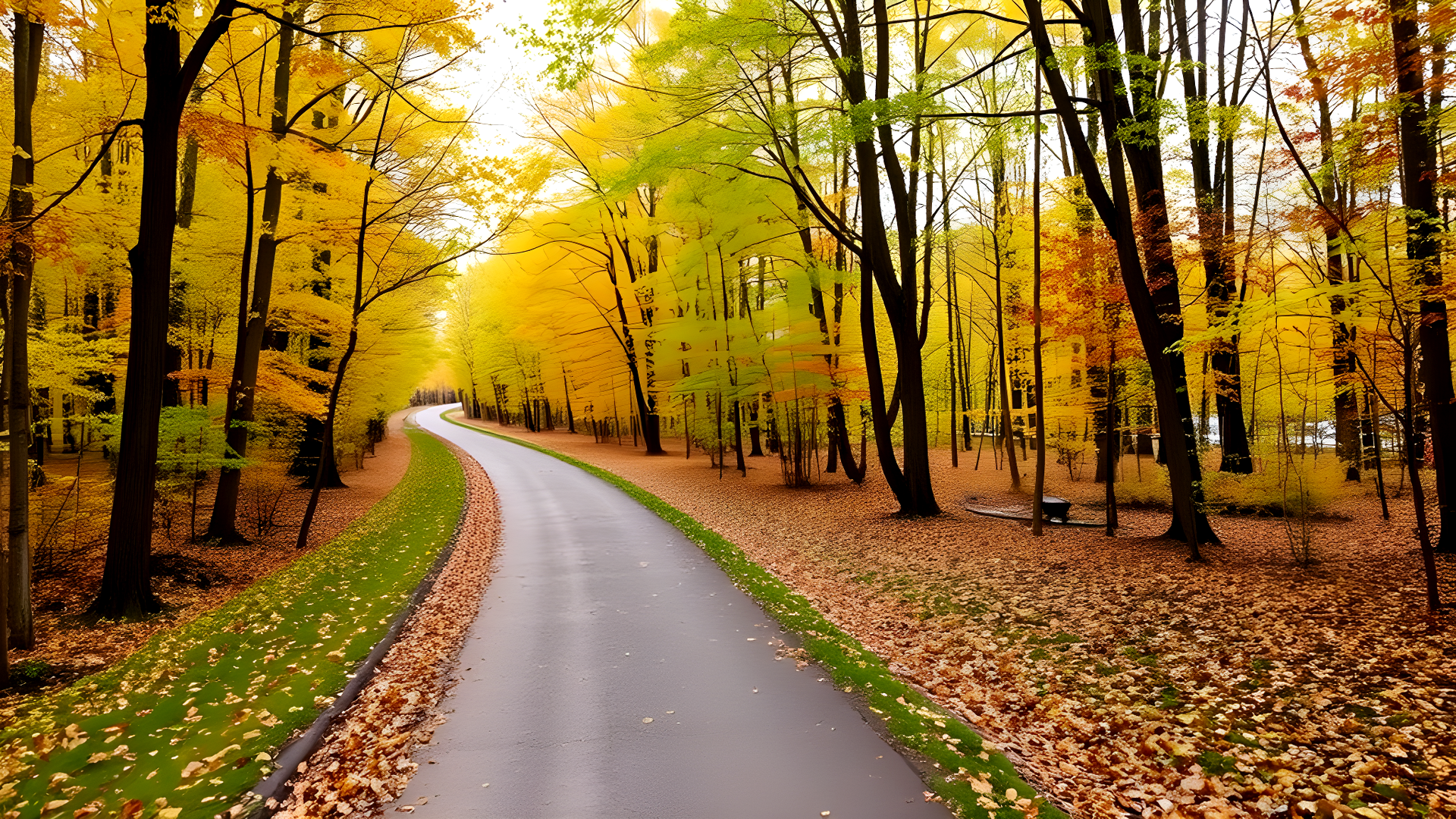
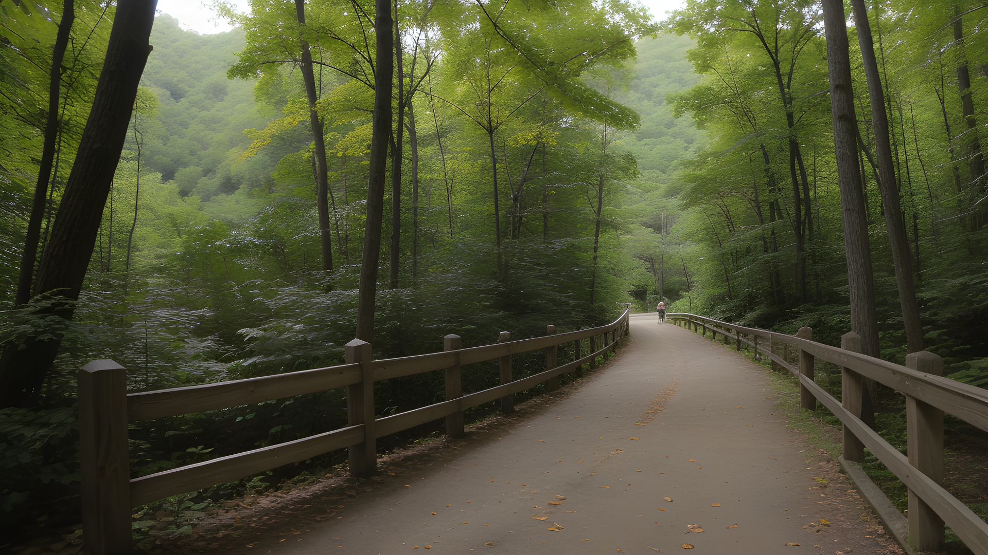
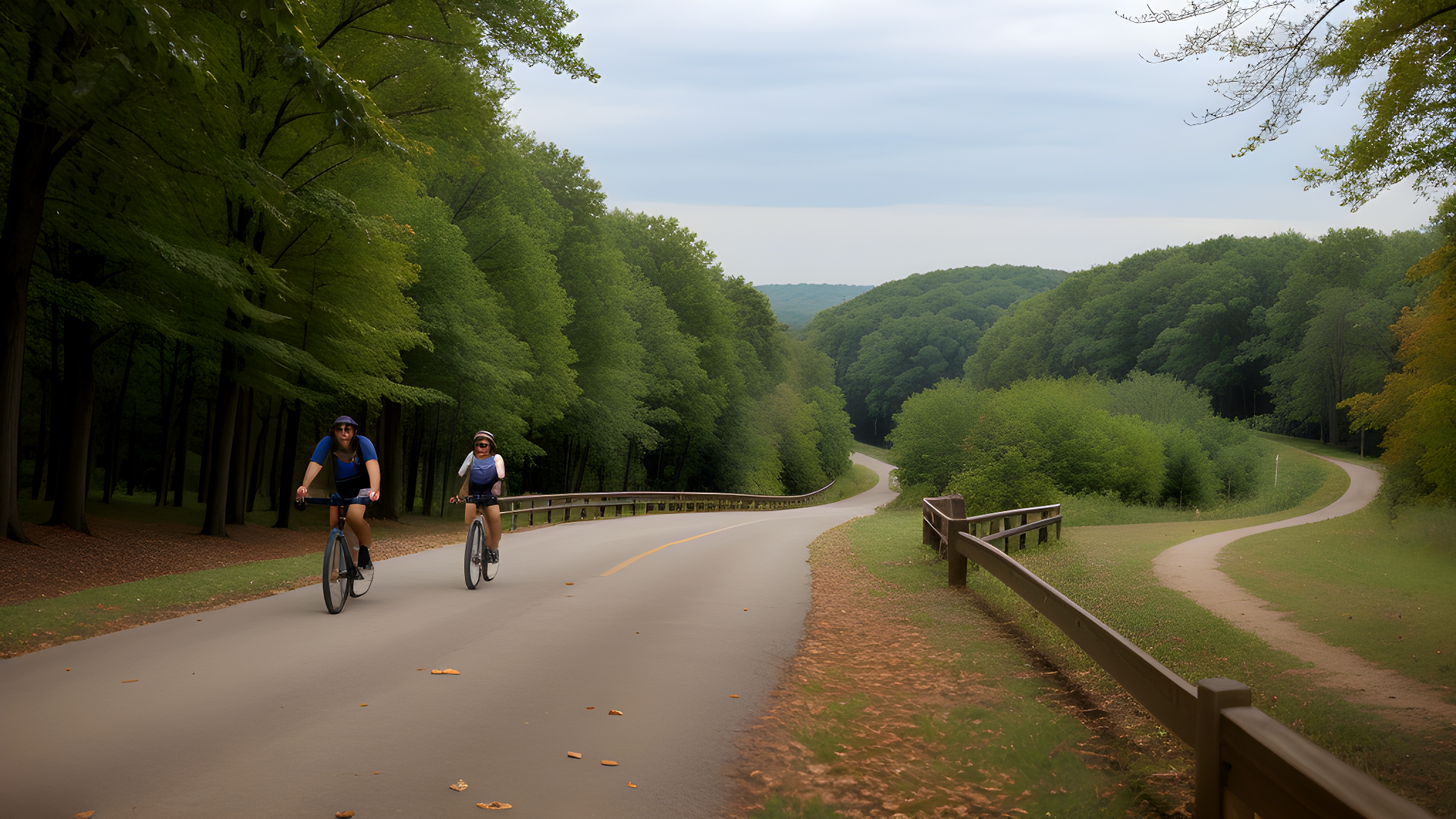
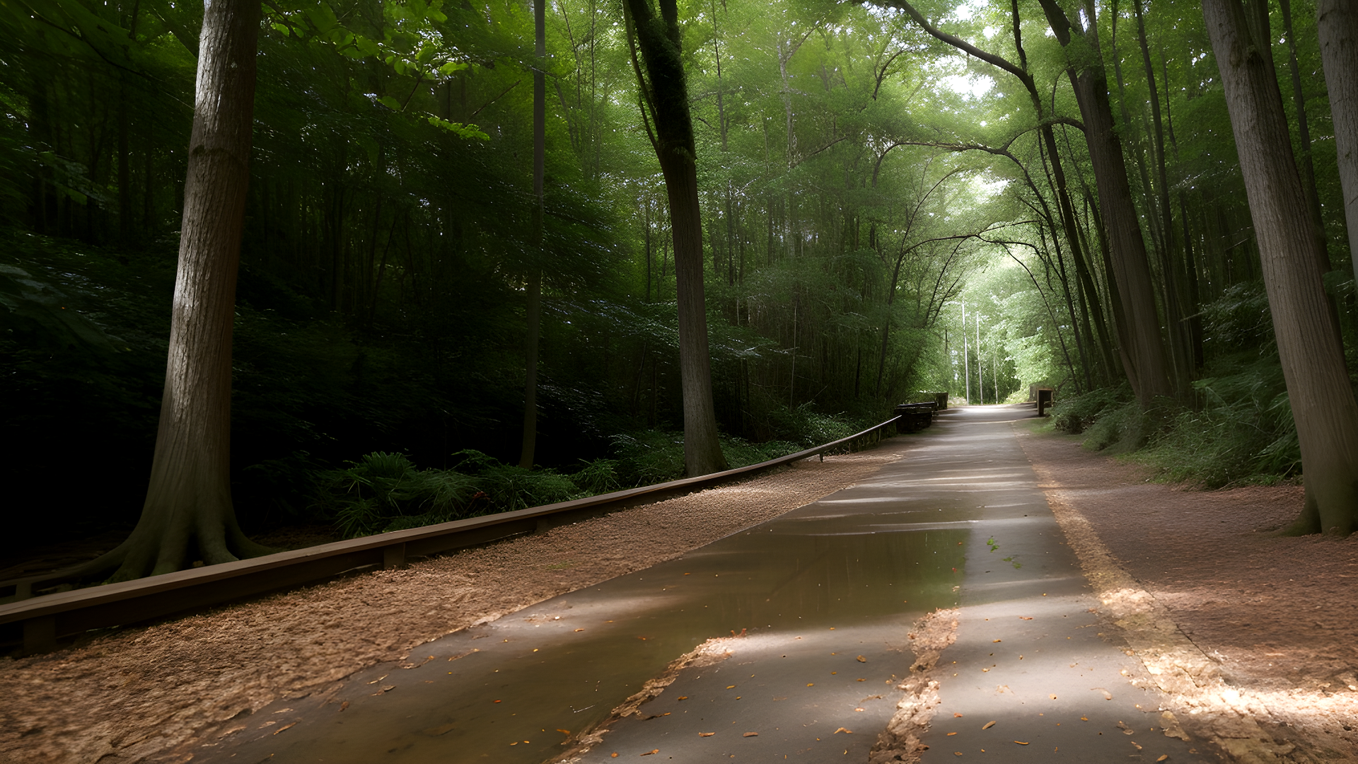
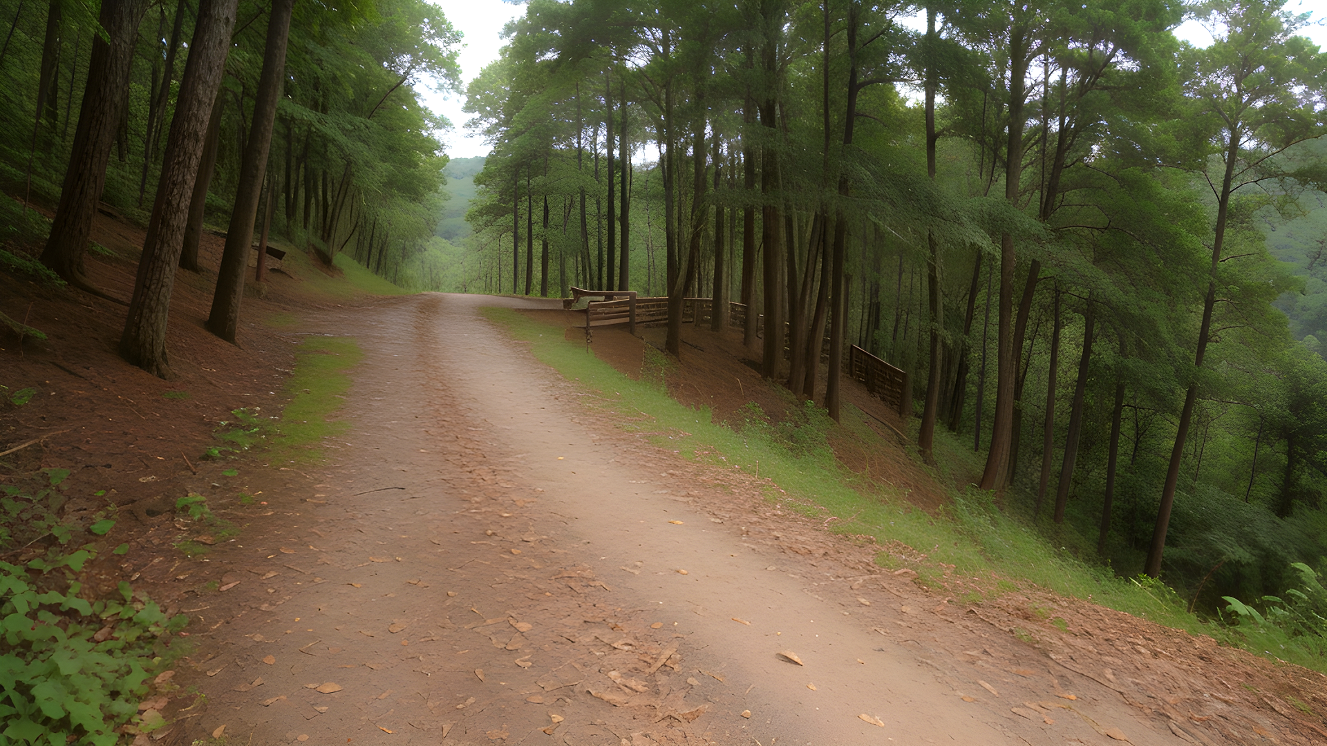
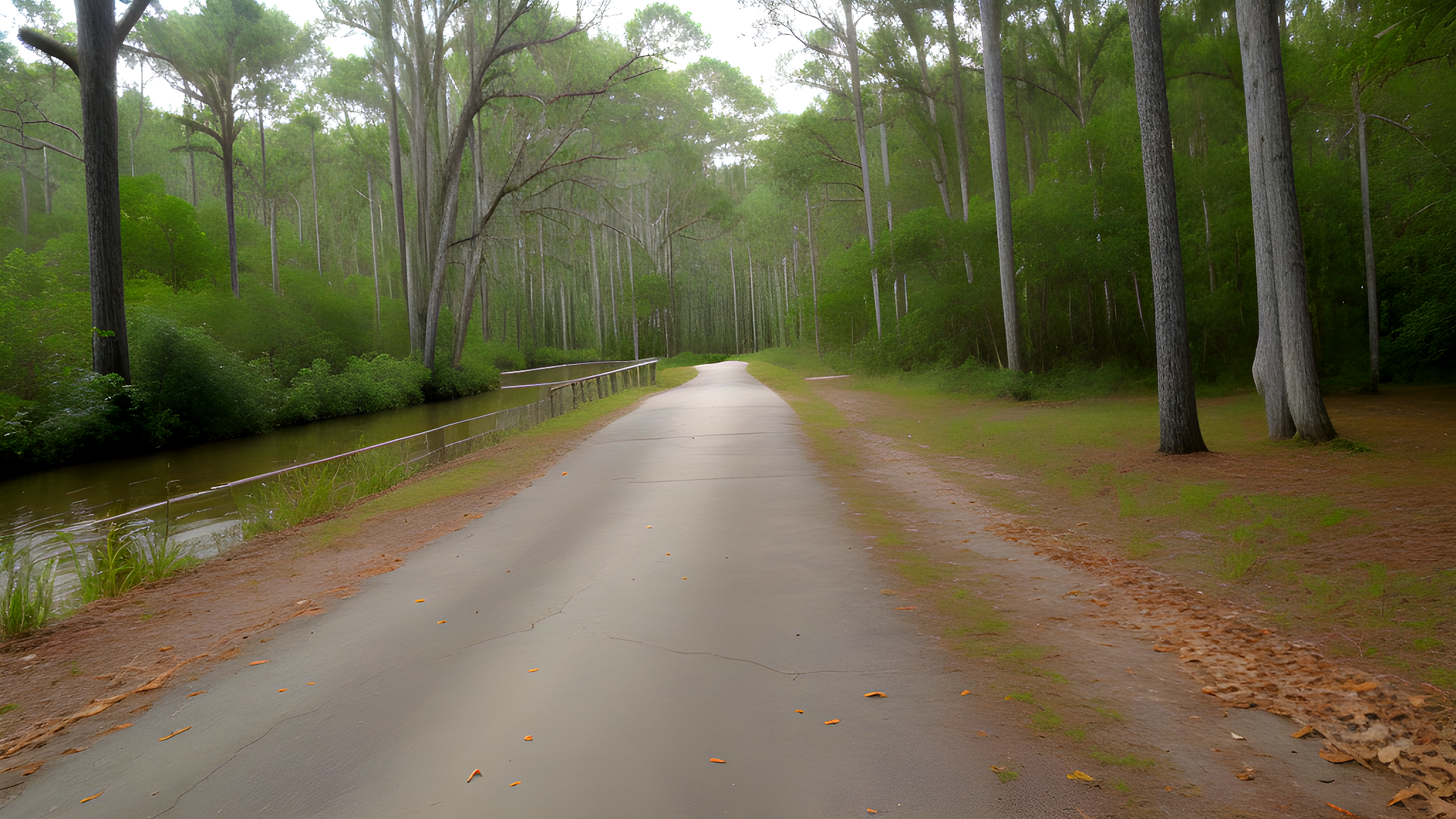
Great Allegheny Passage (GAP)
Location: Pennsylvania & Maryland (Pittsburgh to Cumberland)
The Great Allegheny Passage (GAP) is a 150-mile trail through Pennsylvania and Maryland. It's great for cyclists, hikers, and nature lovers. You'll see the Appalachian Mountains and the region's history.
On the GAP, you'll find forests, rivers, and towns. The trail is well-kept and has different terrains. It's perfect for all skill levels, whether you're going fast or slow.
The GAP is also rich in history. It follows old railroad paths, showing the area's industrial past. You'll see signs and exhibits about the towns and communities along the way.
Respecting the environment is key on the GAP. By doing so, we ensure future generations can enjoy it too. Remember to pack out what you bring in and respect wildlife.
The GAP is also known for its community spirit. Local shops and places to stay welcome trail users. Supporting these businesses makes your trip better and helps the local economy.
Whether for a day or longer, the Great Allegheny Passage is a must-see. It offers stunning views and a deep history. So, get your hiking boots or bike ready for an amazing journey.
Farmington Canal Heritage Trail
Location: Connecticut and Massachusetts
The Farmington Canal Heritage Trail runs through Connecticut and Massachusetts. It's a beautiful path that links nature with history. Spanning about 84 miles, it follows the old Farmington Canal route.
As you walk or bike this trail, you'll see lovely towns and green landscapes. It's great for families and outdoor lovers. You can visit parks, historical sites, and cultural spots along the way.
The trail is perfect for birdwatching, fishing, and picnics. It has many access points and places to rest and park. This makes planning your trip easy.
Looking for a peaceful walk or a fun bike ride? The Farmington Canal Heritage Trail is perfect. It offers beautiful views, a sense of community, and a peek into history. So, get ready to explore this amazing trail!
Rhode Island Greenway Trails
Location: Various trails in Rhode Island (e.g., Blackstone River Bikeway)
The Rhode Island Greenway Trails connect through the state's beautiful landscapes. Each trail highlights Rhode Island's unique charm. You'll see rivers, forests, and cities.
The Blackstone River Bikeway is a favorite, covering over 48 miles. It links Providence to Worcester. It's great for biking and walking, and you'll learn about the Blackstone River's history.
These trails are great for nature lovers and families. You'll see wildlife and plants. There are picnic spots and views to enjoy.
For a more challenging adventure, try the offshoots to state parks. They offer hiking, birdwatching, and fishing. The trails are perfect for biking, walking, or jogging.
So, get ready to explore the Rhode Island Greenway Trails. You'll find new views, hidden spots, and friendly faces. Happy exploring!
Southeast
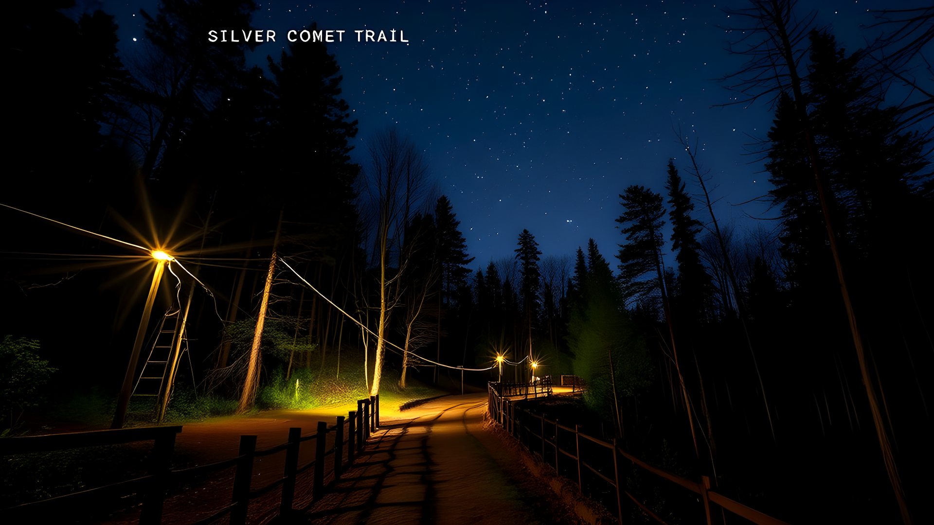
Silver Comet Trail
Location: Georgia (Smyrna to Alabama border)
The Silver Comet Trail is a scenic path that stretches about 61.5 miles. It goes from Smyrna, Georgia, to the Alabama state line. It follows the old Silver Comet passenger train route, which was active from the 1940s to the 1960s.
This trail is paved and loved by cyclists, joggers, and walkers. It offers beautiful views of nature, including forests, streams, and fields.
Key features of the trail include:
- Trailheads: There are many places to start your journey along the trail. They have parking and amenities.
- Scenic Overlooks: You can find spots along the trail to enjoy the views. It's a great place to see nature's beauty.
- Wildlife Viewing: The trail is full of wildlife. It's perfect for birdwatching and seeing local animals.
- Historical Markers: Historical markers along the trail share stories of the area's past. They tell about the Silver Comet train and its importance.
- Connectivity: The Silver Comet Trail connects to other trails. This lets you explore more of the area.
Looking for a peaceful walk, a bike ride, or a run? The Silver Comet Trail is a great choice. It's a beautiful escape into nature and celebrates Georgia's history.
Virginia Capital Trail
Location: Virginia (Richmond to Jamestown)
The Virginia Capital Trail is a scenic path that's about 52 miles long. It connects Richmond to Jamestown, where Virginia was first founded. The trail runs along the James River, giving stunning views of the water and landscapes.
- Historical Significance: The trail is filled with history. It leads to the Jamestown Settlement, where you can learn about early America. Signs along the way share stories of the area's past, including Native American and colonial times.
- Natural Beauty: The trail goes through different ecosystems, like wetlands and forests. It's a great place for birdwatching and nature photos.
- Accessibility: The trail is paved and easy to use for everyone. It's perfect for families and people of all ages.
- Events and Activities: The trail hosts events like fun runs and festivals. These events bring people together and encourage outdoor activities.
- Connectivity: The trail connects to other trails and parks. It's a great starting point for longer adventures in Virginia.
Whether you love history, the outdoors, or just need a break, the Virginia Capital Trail is unforgettable. It shows off Virginia's beauty and history.
Tammany Trace
Location: Louisiana (Mandeville to Slidell)
- Overview: Tammany Trace is a 31-mile trail in St. Tammany Parish, Louisiana. It goes from Mandeville to Slidell. The trail winds through beautiful landscapes, towns, and bayous, loved by cyclists, runners, and walkers.
- Natural Beauty: The trail passes through pine forests, wetlands, and waterways. It's home to diverse wildlife and plants, giving a deep experience of Louisiana's nature.
- Cultural Highlights: The trail has historical markers and cultural sites. It goes through charming towns with shops, cafes, and galleries. This adds to the journey with a taste of Southern culture.
- Community Engagement: The trail promotes an active lifestyle and community spirit. It hosts fun runs, cycling races, and festivals. These events bring people together to celebrate the outdoors.
- Accessibility: Tammany Trace is for everyone, no matter your age or fitness level. It has well-maintained paths and easy access points. Families, beginners, and athletes can all enjoy it.
- Recreational Opportunities: You can bike, walk, birdwatch, picnic, and even fish here. Parks along the trail offer restrooms and picnic areas. This enhances your experience.
Looking for a peaceful walk or an exciting bike ride? Tammany Trace offers scenic beauty and cultural richness. It highlights Louisiana’s North Shore charm.
Chief Ladiga Trail
Location: Alabama (Weaver to Georgia border)
The Chief Ladiga Trail is 33 miles long, connecting Weaver, Alabama, to the Georgia border. It's a favorite for cyclists, runners, and walkers. Its smooth surface is perfect for all fitness levels.
- Scenic Beauty: The trail goes through beautiful landscapes like forests, hills, and farmland. You can see sparkling streams and wildlife. It's great for nature lovers.
- Historical Significance: Named after a Native American leader, it follows an old railway line. Old bridges and trestles add to its charm.
- Community Engagement: The trail connects local communities, promoting outdoor activities and healthy lifestyles. It hosts events and festivals, building a sense of community.
- Accessibility: The trail is accessible to all. It has parking areas, rest stops, and information kiosks. Everyone can enjoy it at their own pace.
The Chief Ladiga Trail is perfect for a peaceful retreat or an active day. Its natural beauty, history, and community spirit make it a treasure in Alabama.
Withlacoochee State Trail
Location: Florida (Citrus Springs to Trilby)
The Withlacoochee State Trail spans about 46 miles, showing off Florida's natural beauty. It goes through forests, wetlands, and rural communities.
This trail is great for biking, walking, jogging, and horseback riding. Its gentle slopes and shade make it welcoming for all ages and fitness levels.
Visitors can find picnic areas, restrooms, and water stations along the way. The trail has several access points for easy entry and exit.
Wildlife lovers can spot birds, deer, and small animals native to Florida. The trail connects to parks and natural reserves, providing more exploration opportunities.
The trail hosts events throughout the year, building a sense of community. From rides to festivals, there's always something happening.
Whether you seek solitude or want to spend time with friends and family, the Withlacoochee State Trail offers a memorable experience. It celebrates Florida’s landscapes.
Swamp Rabbit Trail
Location: South Carolina (Greenville to Travelers Rest)
The Swamp Rabbit Trail is a scenic path that runs about 22.5 miles. It links Greenville to Travelers Rest in South Carolina. Along the Reedy River and through forests, it offers beautiful views for walkers, runners, and cyclists.
This trail is easy to get to and fun for everyone. It's great for families, fitness fans, and nature lovers. The path is well-kept and has clear signs, making it easy to follow.
Throughout the year, the trail hosts events for health, wellness, and the environment. There are fun runs, cycling races, and seasonal gatherings. These events help people stay active and feel connected.
Along the trail, you'll find local shops, parks, and places to play. Cyclists can grab a coffee or snack, and families can have picnics in the green spaces.
As you walk or bike, you'll see nature's beauty and maybe some friendly faces. The Swamp Rabbit Trail is perfect for a workout or a relaxing walk. It shows off the beauty of South Carolina's upstate.
Midwest
Katy Trail State Park
Location: Missouri (St. Charles to Clinton)
The Katy Trail State Park spans about 240 miles in Missouri's countryside. It follows the old Missouri-Kansas-Texas (MKT) Railroad route. This gives visitors a chance to see the area's natural beauty and history.
Features:
- Trail Surface: The trail is made of crushed limestone. It's good for walking, biking, and horseback riding.
- Scenic Views: You'll see the Missouri River, forests, and small towns. These views are truly beautiful.
- Wildlife: The park is full of wildlife like deer, birds, and plants. It's great for nature watching and photography.
Activities:
- Biking: Cyclists love the Katy Trail. It's flat and well-kept, perfect for easy or hard rides.
- Hiking: Hikers can explore long parts of the trail. There are access points in many towns.
- Horseback Riding: Riders can enjoy the trail on horseback. It offers a special view of the area's beauty.
Access Points:
The trail has many access points. This makes it easy for day trips or longer adventures. Some popular spots include:
- St. Charles: A lively historic town with places to eat and stay.
- Jefferson City: The state capital has cultural spots and amenities.
- Clinton: A good end point for exploring the trail's southern parts.
Additional Information:
- Camping: There are campsites and picnic areas along the trail. They're great for longer outdoor stays.
- Events: The park has many events. These include rides and gatherings that celebrate local culture and history.
Katy Trail State Park is perfect for those who love the outdoors and history. It offers a memorable experience for everyone.
Paul Bunyan State Trail
Location: Minnesota (Bemidji to Brainerd)
The Paul Bunyan State Trail is over 120 miles long. It connects Bemidji and Brainerd in Minnesota. It's great for biking, walking, rollerblading, and snowmobiling in winter.
Trail Highlights:
- Natural Beauty: The trail goes through forests, lakes, and wetlands. It's perfect for wildlife watching and photos.
- Cultural Landmarks: You'll see famous landmarks like Paul Bunyan and Babe the Blue Ox in Bemidji. They celebrate local stories and history.
- Recreational Opportunities: There are many activities like fishing, birdwatching, and picnicking. Side trails also lead to parks and reserves.
Camping and Amenities:
There are no campsites on the trail, but nearby parks offer them. Towns along the trail have restrooms, water, and places to eat.
Events and Community Involvement:
The trail has many events like fun runs and festivals. Local volunteers help keep the trail clean. This shows strong community support.
The Paul Bunyan State Trail is great for cyclists and families. It offers adventure and relaxation in a beautiful setting.
Ohio to Erie Trail
Location: Ohio (Cincinnati to Cleveland)
The Ohio to Erie Trail is a 326-mile path across Ohio. It connects Cincinnati in the south to Cleveland in the north. This trail offers beautiful landscapes, forests, waterways, towns, and cities.
Trail Highlights:
The trail has many attractions. You can see parks, landmarks, and local food. Places like Columbus and Akron are highlights, known for their culture and history.
Trail Features:
The trail is paved and good for all levels. It has rest areas, picnic spots, and restrooms. It's also great for families and those with mobility devices.
Community Engagement:
Local groups support the Ohio to Erie Trail. They host bike rides, festivals, and educational programs. Volunteers help keep the trail clean for everyone.
The Ohio to Erie Trail is perfect for biking or walking. It offers stunning views and cultural experiences.
The Lakefront Trail
Location: Illinois (Chicago)
The Lakefront Trail is 18.5 miles long along Lake Michigan in Chicago. It's great for cycling, jogging, walking, and rollerblading. It offers views of the lake and Chicago skyline.
Along the trail, you'll find parks, beaches, and areas for recreation. Lincoln Park, Montrose Beach, and Grant Park are popular spots. The trail connects to other paths in Chicago.
Events like runs, bike races, and fitness classes happen here. There are picnic areas and outdoor activities for families and groups.
The Lakefront Trail is a favorite in Chicago. It's perfect for a walk or a bike ride with friends. It's open all year.
Little Miami Scenic Trail
Location: Ohio (Newtown to Springfield)
The Little Miami Scenic Trail is over 78 miles long. It goes through beautiful landscapes and towns. It's great for walking, cycling, and running.
As you walk, you'll see forests, rivers, and wildflowers. The trail follows the Little Miami River. You can see wildlife and take photos. You'll pass through Yellow Springs and Waynesville, with their shops and art.
The trail encourages outdoor activities and connects communities. It has restrooms, picnic areas, and bike repair stations. It's for everyone, from casual users to athletes.
The Little Miami Scenic Trail is perfect for a long ride or a family walk. It shows the beauty of nature and brings people together. It's a key part of Ohio's outdoor scene.
Badger State Trail
Location: Wisconsin (Madison to Illinois border)
The Badger State Trail is a 40-mile path from Madison to the Illinois border. It goes through beautiful landscapes and quaint towns. Built on an old railway, it's smooth for biking, walking, and jogging.
As you ride or walk, you'll see amazing views of forests, wetlands, and wildflowers. It's a great place for wildlife watching and photography.
The trail has many access points with parking, restrooms, and picnic areas. This makes your visit comfortable. You can also check out local history and food spots along the way.
The Badger State Trail is part of Wisconsin's big trail network. It links to trails like the Sugar River State Trail for longer trips. It's perfect for cyclists and families looking for fun and health.
Southwest
Arizona Trail
Location: Arizona (Statewide, Mexico border to Utah border)
Length: Approximately 800 miles (1,287 kilometers)
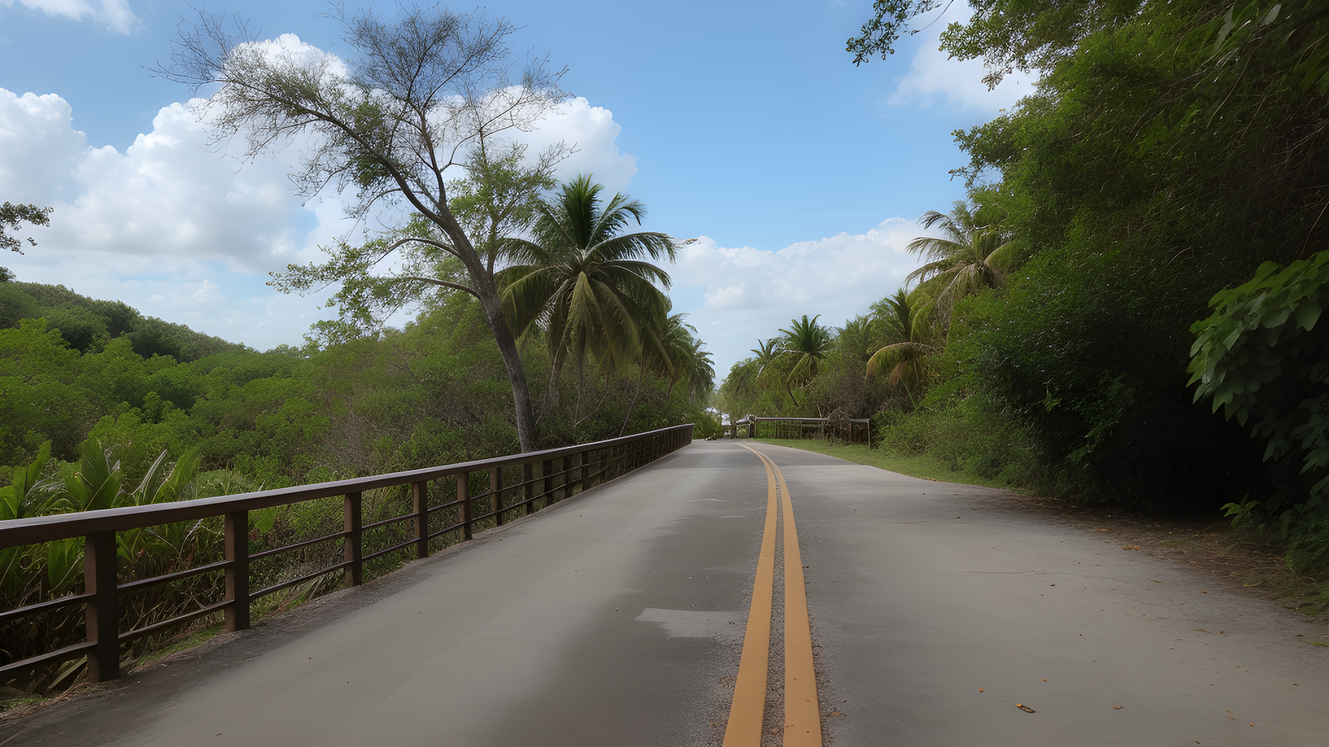
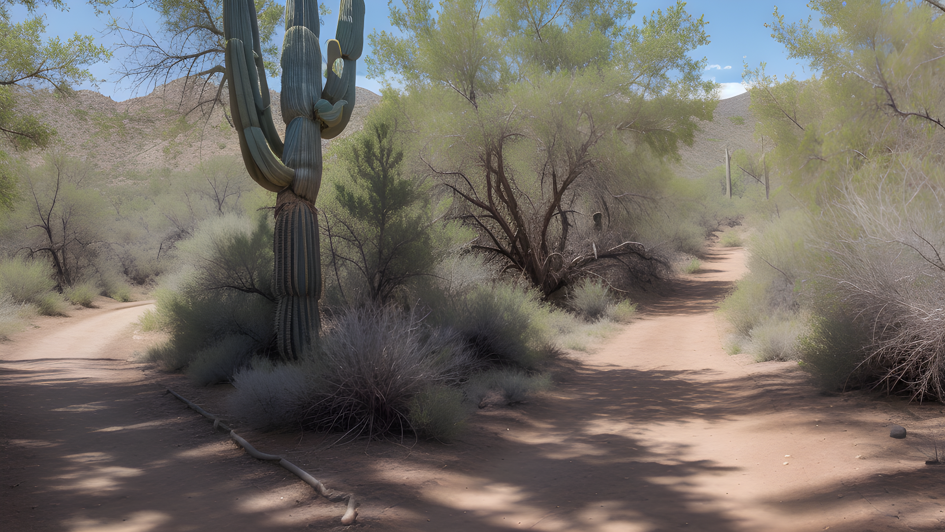
Description: The Arizona Trail stretches from the Mexico border to the Utah border. It was established in 1988. It lets hikers see different landscapes, like deserts, mountains, and forests.
Key Features:
- Diverse Ecosystems: You'll see many environments, like the Sonoran Desert and ponderosa pine forests. This shows Arizona's rich biodiversity.
- Historical Significance: The trail goes through areas with ancient Native American sites and early pioneer settlements. It's full of history and culture.
- Scenic Views: You'll see amazing views of the Grand Canyon, Sedona's red rocks, and the San Francisco Peaks. It's truly breathtaking.
- Wildlife: You might see deer, coyotes, and many bird species. It's perfect for nature lovers.
- Trail Segments: The trail is divided into 43 segments. Each has its own challenges and beauty. You can hike the whole trail or just parts of it.
- Trail Use: Hikers, mountain bikers, and equestrians can use the trail. But, some parts might have rules. Always check before you go.
- Access and Navigation: The trail is easy to follow with signs and maps. There are many places to start, making planning easy.
The Arizona Trail is great for everyone, from experienced backpackers to casual hikers. It's filled with beauty and history. It's a top choice for outdoor lovers.
Santa Fe Rail Trail
Location: New Mexico (Santa Fe area)
The Santa Fe Rail Trail is a scenic trail for walking, cycling, and horseback riding. It's about 18 miles long, connecting Santa Fe to Lamy. It follows an old railroad path.
Trail Features: The trail offers beautiful views of the Sangre de Cristo Mountains and the desert. You'll see forests, arroyos, and meadows. It's also rich in history, with signs about the area's past.
Access and Navigation: There are easy access points in Santa Fe and Lamy. The trail is mostly flat, making it easy for everyone. There are places to rest and enjoy the views along the way.
The Santa Fe Rail Trail is more than a trail. It's a chance to connect with nature and learn about New Mexico's history. It's perfect for walks, bike rides, or horseback rides. Don't miss it when you visit Santa Fe.
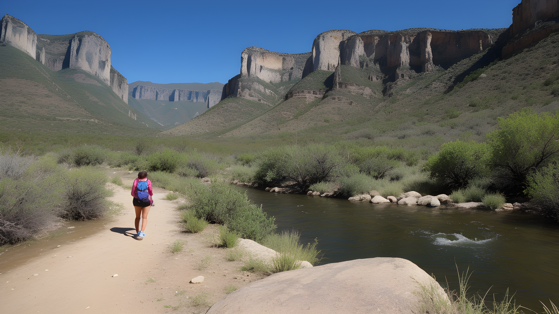
Rio Grande Trail
Location: Colorado (Aspen to Glenwood Springs)
The Rio Grande Trail is a beautiful path that runs about 42 miles from Aspen to Glenwood Springs, Colorado. It follows the old Rio Grande railroad route, mixing adventure with stunning views.
Visitors get to see amazing mountains, forests, and the Roaring Fork River. The trail is great for walking, jogging, biking, and horseback riding.
Along the way, you'll find Basalt, a charming town with shops and food. There are also picnic spots and rest areas to relax and enjoy the view.
Wildlife lovers can see deer, elk, and many birds. Each season brings new sights, like wildflowers in spring and fall colors.
The Rio Grande Trail is more than a path; it's a journey through Colorado's beauty. It's perfect for those who love nature or a good workout. Don't miss it when you visit Colorado's Roaring Fork Valley.
Mission Reach Trail
Location: Texas (San Antonio)
The Mission Reach Trail is a scenic part of the San Antonio River Walk. It's about 15 miles long and links historic missions. It's a mix of nature and history.
The trail has beautiful landscapes, wildlife, and parks. It's great for walking, biking, and jogging. It's fun for families and fitness fans.
Visitors can see UNESCO World Heritage Sites like Mission Concepción and Mission San José. These missions share the area's cultural and early history.
The trail is also educational. Signs tell about the river and missions. Birdwatchers and photographers will love it here.
The Mission Reach Trail shows San Antonio's beauty and history. It's perfect for cycling, walking, or learning about the past. It's a must-see in San Antonio, Texas.

West Coast
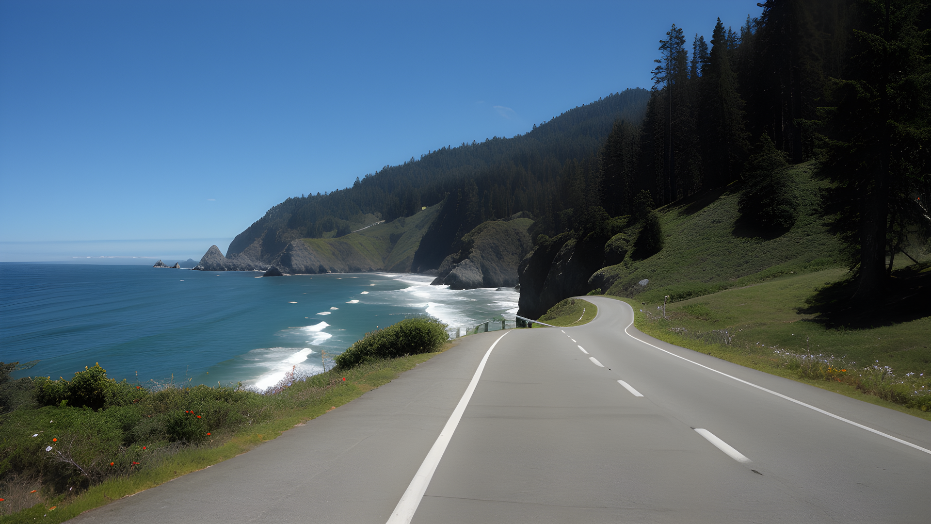
Pacific Coast Route
Location: Washington, Oregon, California (From Washington’s Puget Sound down to San Diego)
The Pacific Coast Route is famous for its stunning ocean views, lush forests, and quaint seaside towns. It spans over 1,000 miles, featuring some of the most beautiful landscapes in the U.S. Travelers can enjoy hiking, beach relaxation, and more along the way.
The journey starts in Washington’s Puget Sound. Here, you can explore Seattle and Tacoma. Moving south through Oregon, you'll find Cannon Beach and Newport with their unique shops and seafood. Don't miss Haystack Rock, a favorite among photographers and nature lovers.
In California, the Pacific Coast Highway offers breathtaking views. Highlights include Big Sur, McWay Falls, and Bixby Creek Bridge. Monterey is also a must-see, known for its aquarium and Cannery Row.
For adventure, there are many state parks and beaches for hiking, camping, and wildlife watching. Point Reyes National Seashore and Channel Islands National Park are great spots for outdoor enthusiasts.
The Pacific Coast Route is more than a drive; it's an unforgettable experience. It combines stunning beauty with a rich history. From Seattle to San Diego, it captures the West Coast's essence. Whether you seek adventure or relaxation, this journey promises lasting memories. Discover why it's a favorite among travelers worldwide.
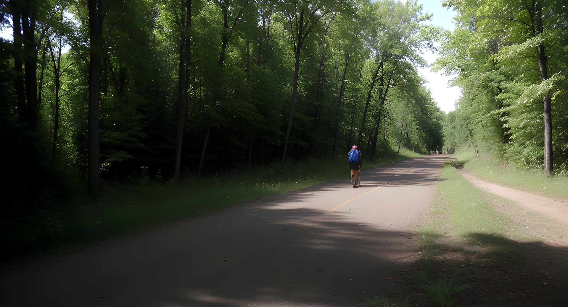
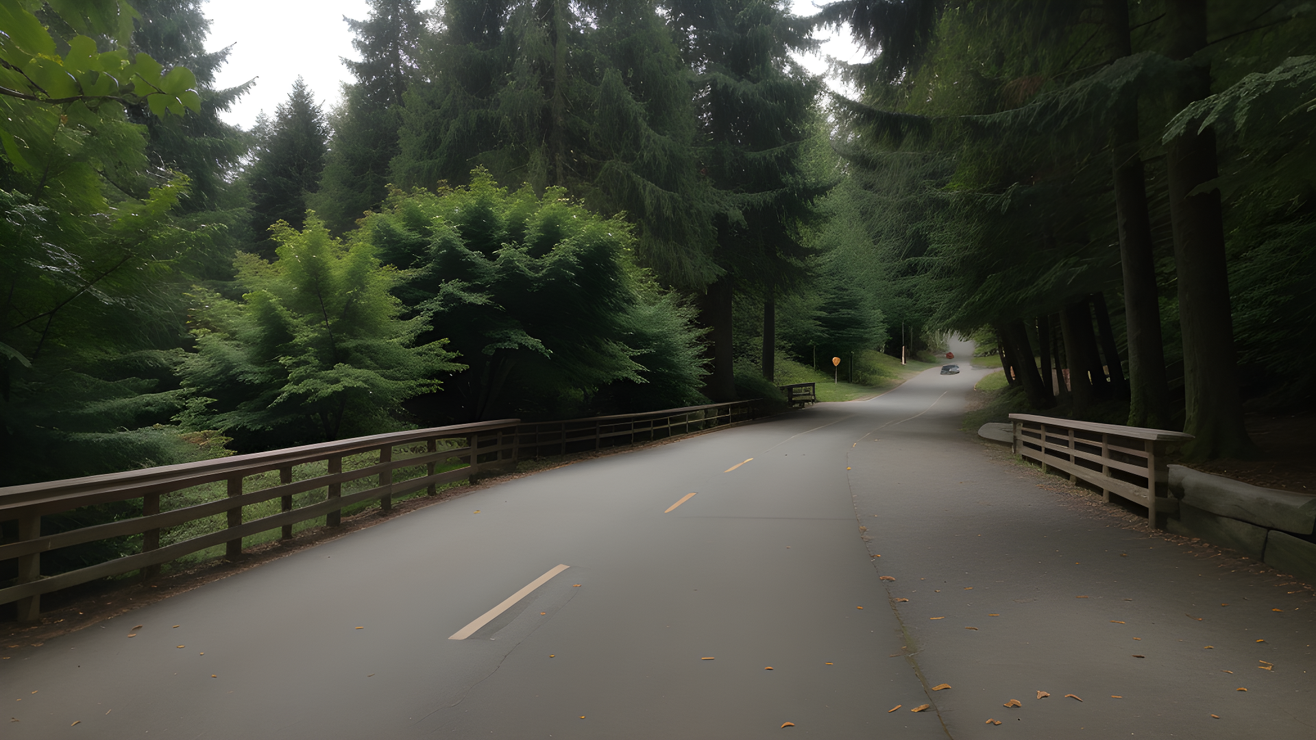
Burke-Gilman Trail
Location: Washington (Seattle to Bothell)
The Burke-Gilman Trail is a scenic path from Seattle to Bothell, covering about 27 miles. It's perfect for cyclists and pedestrians, showing off the Pacific Northwest's beauty. Enjoy a leisurely ride or walk through lush landscapes and waterfronts.
Along the trail, you'll see Lake Washington and Lake Union's shimmering waters. It passes through parks, neighborhoods, and historic sites. Take breaks at parks for picnics or to enjoy the views.
Highlights include Ballard's trendy shops and the University of Washington's cherry blossoms. The trail also connects to other routes, perfect for longer trips.
The Burke-Gilman Trail is great for all, whether you're an experienced cyclist or prefer a peaceful walk. It's a journey through nature and community, showing Washington's best. So, get ready to make unforgettable memories on this remarkable trail.
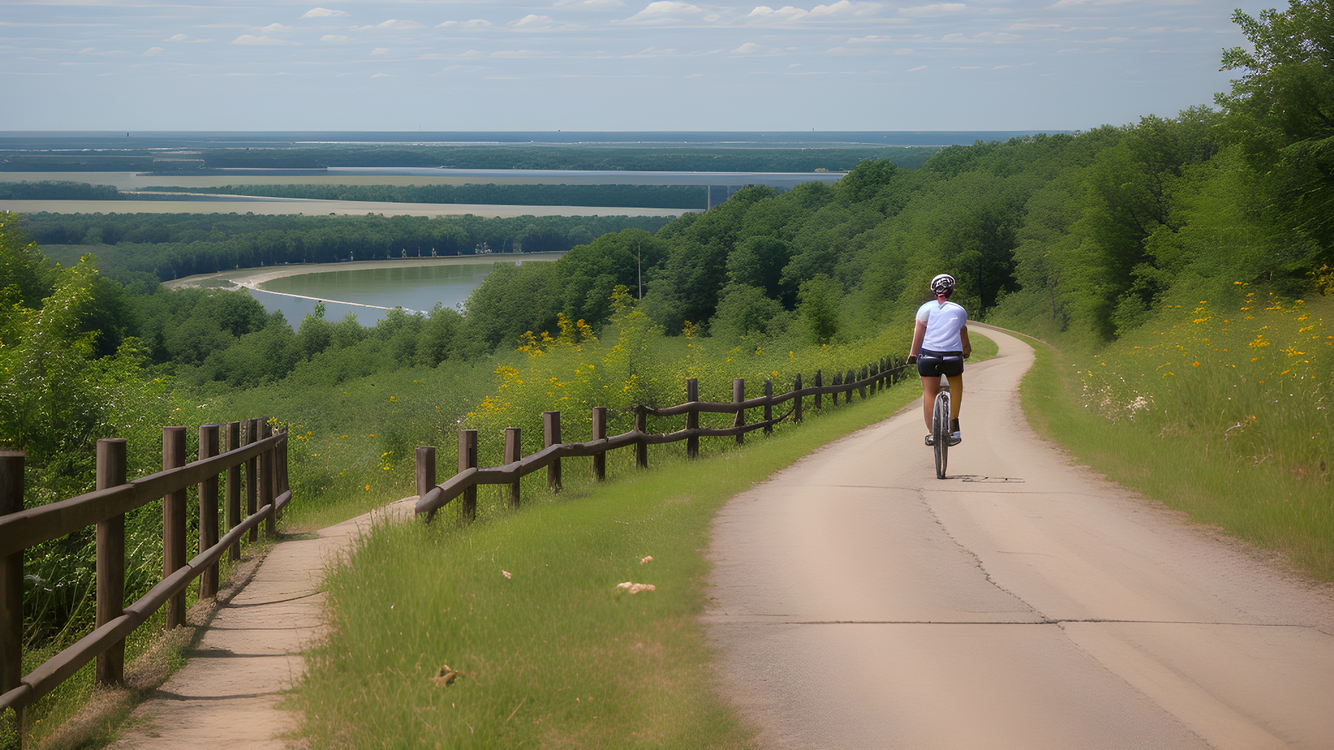
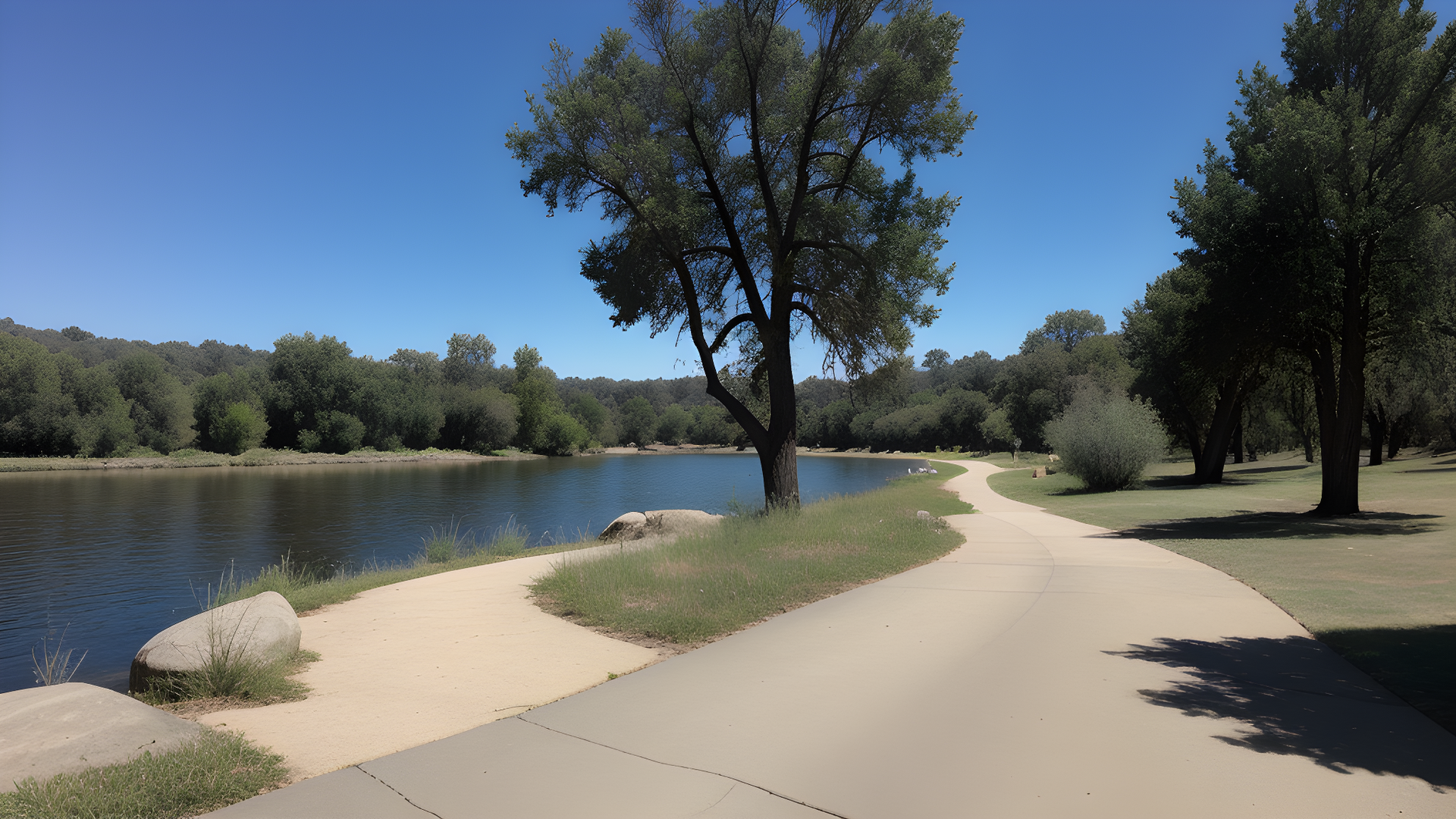
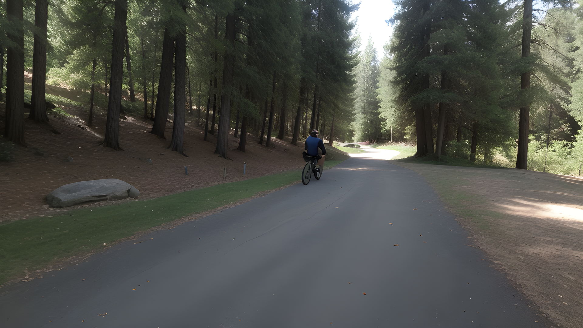
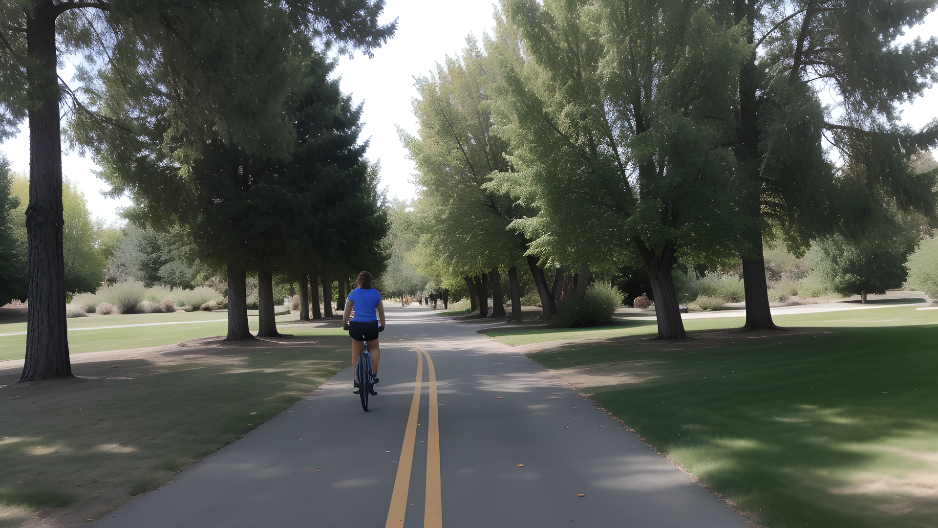
American River Bike Trail
Location: California (Sacramento)
The American River Bike Trail, also known as the Jedediah Smith Memorial Trail, is one of California’s most scenic and beloved bike routes. Stretching over 32 miles, it runs from Discovery Park in downtown Sacramento to Beal’s Point at Folsom Lake. Winding along the American River, the trail offers cyclists, runners, and walkers a peaceful escape into nature right in the heart of the Sacramento region.
This paved, multi-use trail is completely separate from motor traffic, making it safe and enjoyable for all experience levels. Along the way, users pass through lush parks, tree-lined corridors, and occasional glimpses of local wildlife like deer, wild turkeys, and rabbits. Rest areas, water fountains, and bathrooms are conveniently spaced throughout the route, making it ideal for both short rides and full-day excursions.
Popular stops along the trail include the Sacramento State University campus, the Guy West Bridge, and the Nimbus Fish Hatchery. Whether you're a serious cyclist or someone looking for a relaxing outdoor adventure, the American River Bike Trail has something for everyone.
Its smooth pavement and gentle terrain also make it a favorite for families and casual riders. With year-round accessibility and stunning river views, it’s no surprise that this trail is often ranked among the best bike trails in the United States.
Springwater Corridor
Location: Oregon (Portland)
The Springwater Corridor is a scenic trail that's about 21 miles long. It connects Portland to its natural surroundings. The trail runs by the Willamette River and through parks, showing off the Pacific Northwest's beauty.
The trail goes through different landscapes, from cities to forests. It's great for everyone, whether you like cycling, jogging, or walking. There are parks along the way, like Sellwood Riverfront Park, for picnics and birdwatching.
The Springwater Corridor is easy for all to enjoy. It's perfect for families and outdoor fans. There are signs along the way that teach you about the area's history and nature.
The Springwater Corridor is a mix of city life and nature. It shows Portland's love for the outdoors. It's a key place to visit for anyone in the area.
Truckee River Bike Path
Location: California & Nevada (Truckee to Reno)
The Truckee River Bike Path is 20 miles long. It goes from Truckee, California, to Reno, Nevada. It offers stunning views of the Sierra Nevada mountains and the Truckee River.
The path is smooth and suitable for all. As you walk or cycle, you'll see the river, forests, meadows, and rocky areas. The sound of the river creates a peaceful atmosphere.
There are many places to stop and enjoy the scenery. You can fish, have a picnic, or just relax. The area is home to many animals, including birds, deer, and fish.
Whether you're an experienced cyclist or a family looking for fun, the Truckee River Bike Path has it all. It's a mix of natural beauty, recreational activities, and easy access. So, grab your bike or walking shoes and explore the stunning Truckee River corridor!
Mountain West
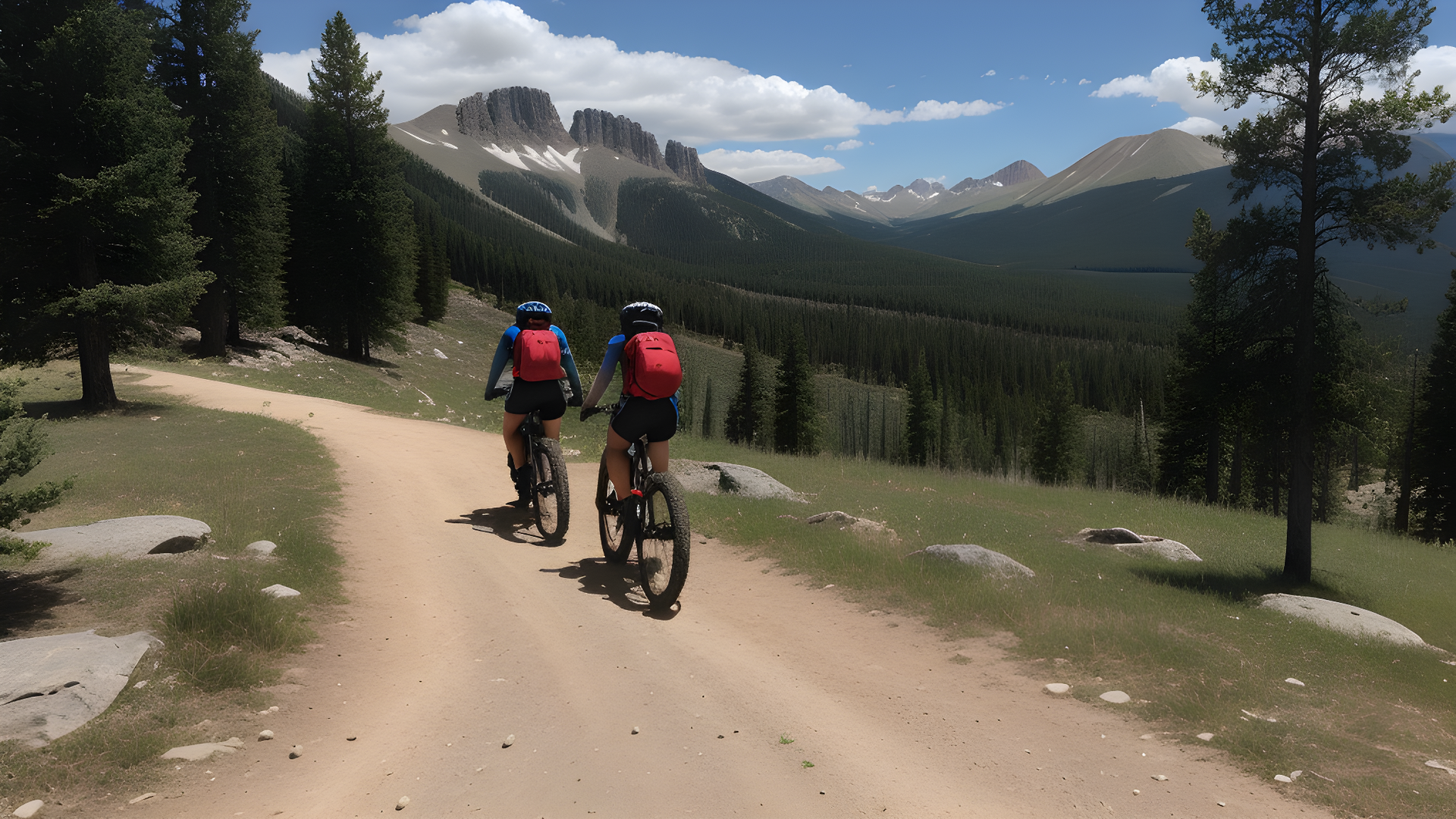
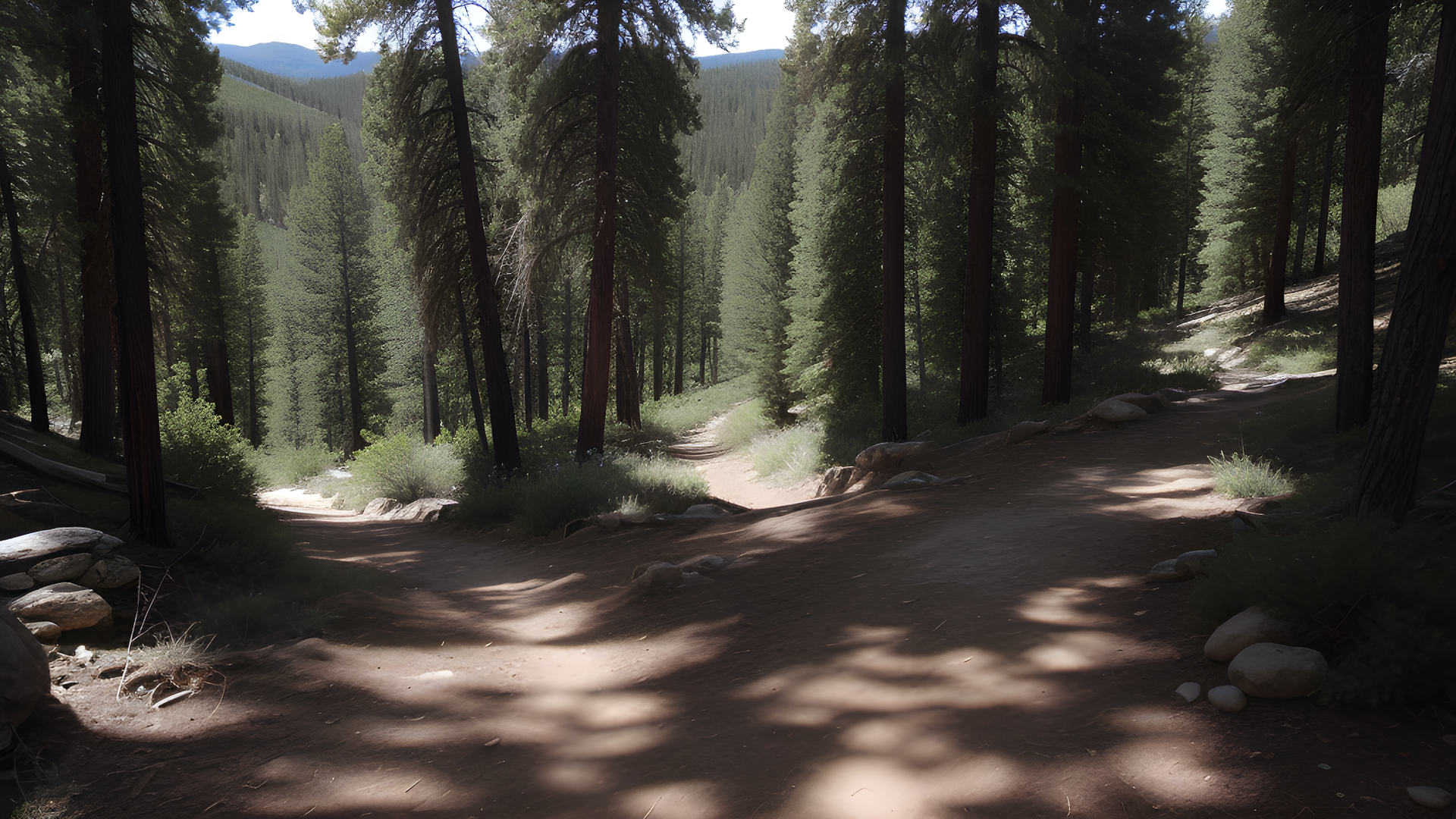
Great Divide Mountain Bike Route
Location: Montana to New Mexico (through the Rockies)
The Great Divide Mountain Bike Route is a stunning ride through the Rocky Mountains. It spans over 2,700 miles from Montana to New Mexico. This route is famous for its beautiful views, tough terrain, and the adventure it offers.
As you ride, you'll see different landscapes, from green forests to dry deserts. You'll pass through national parks and forests, giving you chances to see wildlife and enjoy amazing views. You might see elk, deer, and even bears on this trail.
This route focuses on being self-sufficient. Riders carry their own gear and camp along the way. There are towns to resupply, but planning is key. It's perfect for those who love long rides and nature.
The route is mostly dirt, with gravel roads and trails that test your skills. Some parts are steep and technical, while others are smooth. Every mile offers new views and a chance to connect with nature.
Whether you're an experienced bikepacker or new to adventure, this route is unforgettable. Get ready to be amazed by the Rockies and the thrill of exploring. Pack your bags, gear up your bike, and start an adventure that will give you memories forever!
Colorado Trail
Location: Colorado (Denver to Durango)
The Colorado Trail is a 486-mile journey through the Rocky Mountains. It offers stunning views, diverse landscapes, and terrains for all riders. This trail connects Denver to Durango, showing off Colorado's beauty.
On this trail, you'll ride over high mountain passes above 12,000 feet. The route is well-marked and maintained, perfect for bikepackers. You'll see lakes, rivers, and mountain towns to rest and eat.
Wildlife lovers will enjoy seeing elk, deer, and birds. The trail is beautiful in every season, with wildflowers in summer and fall colors in autumn.
The Colorado Trail has different sections for unique challenges. Each part offers its own adventure, from technical trails to gravel roads. There's something for every rider.
Be prepared for changing weather in the mountains. Having the right gear is key. The Colorado Trail is an exciting journey with breathtaking views and adventure.
So, get your gear ready, train, and start your journey through Colorado's iconic landscapes. The Colorado Trail is waiting for you, ready to take you on an unforgettable ride through the Rockies!
Bear Creek Trail
Location: Colorado (Telluride area)
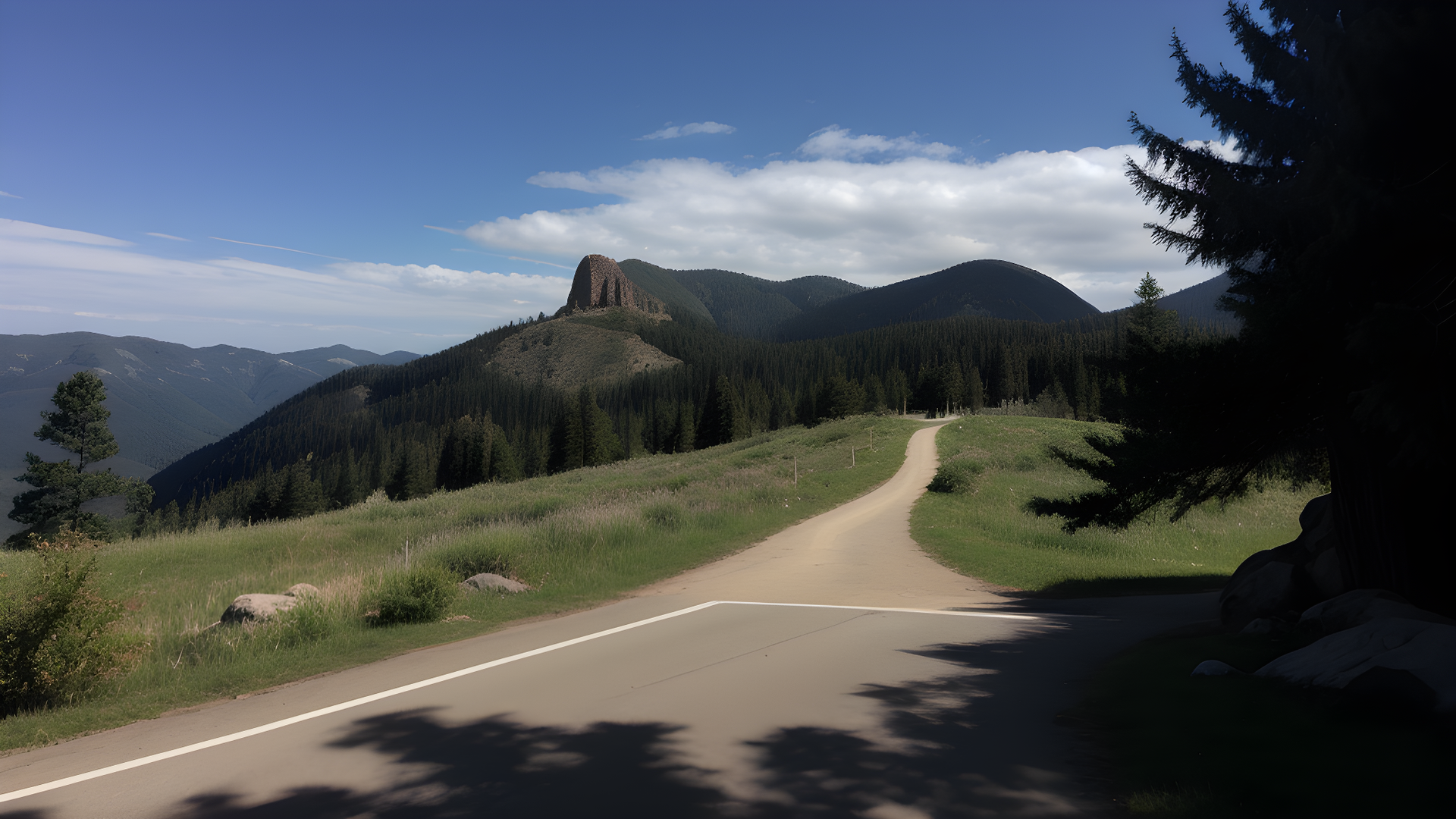
Bear Creek Trail is a hidden gem in the San Juan Mountains, near Telluride, Colorado. It's known for its beautiful views and tough terrain. It's great for both mountain bikers and hikers.
The trail starts with a steep climb that offers amazing views of peaks and valleys. You'll face rocky parts and switchbacks that challenge your skills. The sound of Bear Creek adds to the peaceful atmosphere as you walk through forests.
About 4 miles in, you'll see Bear Creek Falls. It's a stunning waterfall that's perfect for a break. Here, you can spot deer, foxes, or even black bears.
Further along, you'll find viewpoints with stunning views of Telluride and the mountains. These spots are great for a break and enjoying a meal.
For more adventure, you can connect to other trails like Wasatch or Jud Wiebe. This lets you explore more of the area's rugged beauty.
Before you go, check the weather and trail conditions. Bear Creek Trail is exciting for both experienced bikers and casual hikers. It's a must-see for anyone who loves Colorado's wild landscapes.
So, pack your gear, wear your hiking boots or get your bike ready. Get ready to explore one of Telluride's most beloved trails!
Boise River Greenbelt
Location: Idaho (Boise)
The Boise River Greenbelt is a 25-mile park along the Boise River in Idaho's capital. It's a favorite for its many activities. You can walk, jog, cycle, or rollerblade on its paved paths, surrounded by nature.
As you walk, you'll find parks, picnic spots, and river access for fishing or kayaking. It's also close to downtown Boise, where you can shop and eat.
The Greenbelt is perfect for any pace. Look out for deer, ducks, and herons. Don't forget water and sunscreen, and visit at sunrise or sunset for the best views.
So, grab your bike or shoes and explore the Boise River Greenbelt. It's a mix of nature and city charm!
Centennial Trail
Location: Idaho & Washington (Coeur d'Alene to Spokane)
The Centennial Trail is a 37-mile path from Coeur d'Alene, Idaho, to Spokane, Washington. It's great for walking, jogging, cycling, or rollerblading. It runs by Lake Coeur d'Alene and the Spokane River.
The trail offers beautiful views of forests, fields, and wildflowers. You might see eagles or otters along the way.
There are parks and rest areas for breaks and picnics. The trail is open all year, perfect for any season's activities.
Looking to explore more? The Centennial Trail connects to many other trails and parks. This opens up a world of natural beauty for you to discover. So, get ready for an unforgettable journey along the Centennial Trail, where stunning views and outdoor fun await!
Boulder Creek Path
Location: Colorado (Boulder)
The Boulder Creek Path is a must-see for outdoor lovers. It combines natural beauty with fun activities. This path follows Boulder Creek, passing through beautiful parks and lively neighborhoods.
It's perfect for walking, running, or biking. You'll enjoy peaceful moments away from the city's hustle and bustle.
As you walk, you'll see the famous Flatirons. The creek's gentle sound and lush greenery surround you. There are places to stop and enjoy nature or have a picnic.
The path is well-kept and open all year. It's great for spring walks, summer runs, or autumn foliage walks.
There are parks along the way with restrooms, picnic tables, and playgrounds. You can also visit historic downtown Boulder to see shops, cafes, and art galleries.
The Boulder Creek Path hosts community events like fun runs and festivals. It's a place to meet locals and enjoy Boulder's lively culture.
Whether you want solitude or community, the Boulder Creek Path is a must-see. Bring your bike or walking shoes to explore its beauty and vibrant atmosphere!
National Trails Spanning Multiple States
TransAmerica Trail
Location: Virginia to Oregon (cross-country route)
The TransAmerica Trail is a famous long-distance cycling path in the U.S. It stretches over 4,200 miles from Virginia to Oregon. It was started in 1976 for the nation's bicentennial. This trail takes you through 10 states, showing off different landscapes, cultures, and experiences.
Cyclists will ride through Virginia's hills, Kansas' plains, and Colorado's Rocky Mountains. Each part of the trail has its own special sights and attractions. You'll see charming towns, historic sites, and beautiful national parks.
The trail has different terrains for all skill levels. There are easy parts for beginners and tough climbs for experts. The route is well-marked and has places to camp, eat, and rest, making it easy for outdoor adventures.
Riding the TransAmerica Trail is also a chance to learn about different cultures. You can meet other travelers, talk to locals, and explore the history of each area. You can try local foods and join in on festivals, making the trail a place of connection and discovery.
Whether you love cycling or just want a memorable trip, the TransAmerica Trail is unforgettable. It offers stunning views, diverse communities, and the freedom of the open road. Get your gear ready, plan your stops, and start an epic journey across America's heartland!
Route 66 Trail
Location: Illinois to California (following historic Route 66)
The Route 66 Trail is known as the "Main Street of America." It spans over 2,400 miles from Illinois to California. This iconic road lets travelers see the beauty of small towns, cities, and landscapes.
As you ride, you'll see cool roadside attractions, old diners, and motels from the past. Each stop gives a peek into history, with places like the Cadillac Ranch in Texas and the Route 66 Museum in California. These landmarks tell the stories of this historic road.
Cycling on the Route 66 Trail is about enjoying the trip. You'll ride through different terrains, from flat Midwest to hilly Southwest. You'll also meet other travelers and share stories and tips.
Make sure to try local foods, like Chicago pizza, St. Louis toasted ravioli, or New Mexico green chile. Each state along Route 66 adds its own flavors, making every meal special.
The trail is also full of cultural experiences. You can go to festivals for music, art, and history. Visit famous places like the Grand Canyon or Santa Monica Pier, where your journey ends at the Pacific Ocean.
So, get ready for a trip that mixes old times with new adventures. The Route 66 Trail is not just a scenic ride but a way to connect with America's heritage. Whether you follow in the footsteps of past travelers or make your own memories, this trail will touch your heart. Pedal through history and enjoy the adventure that Route 66 offers!
U.S. Bicycle Route System (USBRS)
Location: Nationwide network, covers over 18,000 miles across various states
The U.S. Bicycle Route System (USBRS) offers cyclists a safe and fun way to see the country. It connects cities, scenic spots, and historic sites. Each route is designed to show off America's best, from busy cities to peaceful countryside.
On your journey, you'll face different terrains and challenges. It's perfect for all cyclists, from casual family rides to long-distance adventures. You'll see quaint towns, lively cultures, and beautiful views that spark your adventure spirit.
The USBRS also focuses on being green and eco-friendly. By biking instead of driving, you cut down on carbon emissions. You'll get to know the environment and local communities better. Many routes highlight local spots, parks, and attractions, encouraging you to explore and support the areas you visit.
Plan well for your trip. Look at the route maps, find places to stay, and check out interesting spots. Whether alone or with friends, enjoy every mile. Each one offers a new discovery.
So, get your helmet, pack your bags, and start an amazing cycling journey across the U.S. Bicycle Route System. Every pedal stroke adds to America's cycling history. Have a great ride!